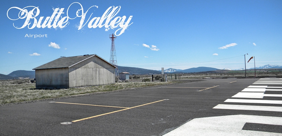
BUTTE VALLEY AIRPORT
Butte Valley Airport is located just 5 miles south of the City of Dorris on Hwy 97. It's FAA LID no. is A32. The Airport is a county owned public-use airport. Per FAA sources, during 2008 there were some 2200 flight operations at this site. The Airport Elevation AMSL is 4243 ft, Direction is 16/34, Runway length 4300 ft and the surface is asphalt. Butte Valley Airport covers an area of 234 acres.
The Airport is unmanned. Aircraft tie downs are available. However, no other services reside at the Airport. Runway lights can be activated by keying 5 times on Frequency 122.9.
Siskiyou County manages the Airport and can be reached at 530-542-8295.
An aeronautical chart for A32 can be found at skyvector.com/perl/code?id=A32&scale=2
